
By Paul Derrington, Jr.
CEO | Chief Engineer | Research Engineer | Editor, D-CSIL
3 min read
Key Takeaways
Google DeepMind released SatWeave and PARDIG on November 13 — the satellite mosaic and the AI rainfall dataset behind WeatherNext 3 — as open archives and live feeds. PARDIG estimates global rain at 15-minute temporal resolution and about 10-kilometre spatial resolution, with about five hours' average latency, and DeepMind's own evaluation puts its hourly rain-detection skill more than 30% ahead of NASA's IMERG-Final on light-to-moderate rain.
What did DeepMind release on November 13?
On November 13, Google DeepMind released the two datasets behind its WeatherNext 3 weather model: SatWeave, a global mosaic of satellite imagery, and PARDIG, an AI-built global rainfall dataset. Both are out as historical archives and as live feeds, openly available on Google Cloud Storage, with PARDIG's historical catalogues also in Google Earth Engine. Google's developer documentation and the PARDIG paper say both datasets are released under a CC BY 4.0 licence, and the documentation says any Google Cloud account can access them without an access request form.
This is not a new model launch. WeatherNext 3 was released earlier. What changed on November 13 is that the data it runs on is now openly available.
What is SatWeave, in plain terms?
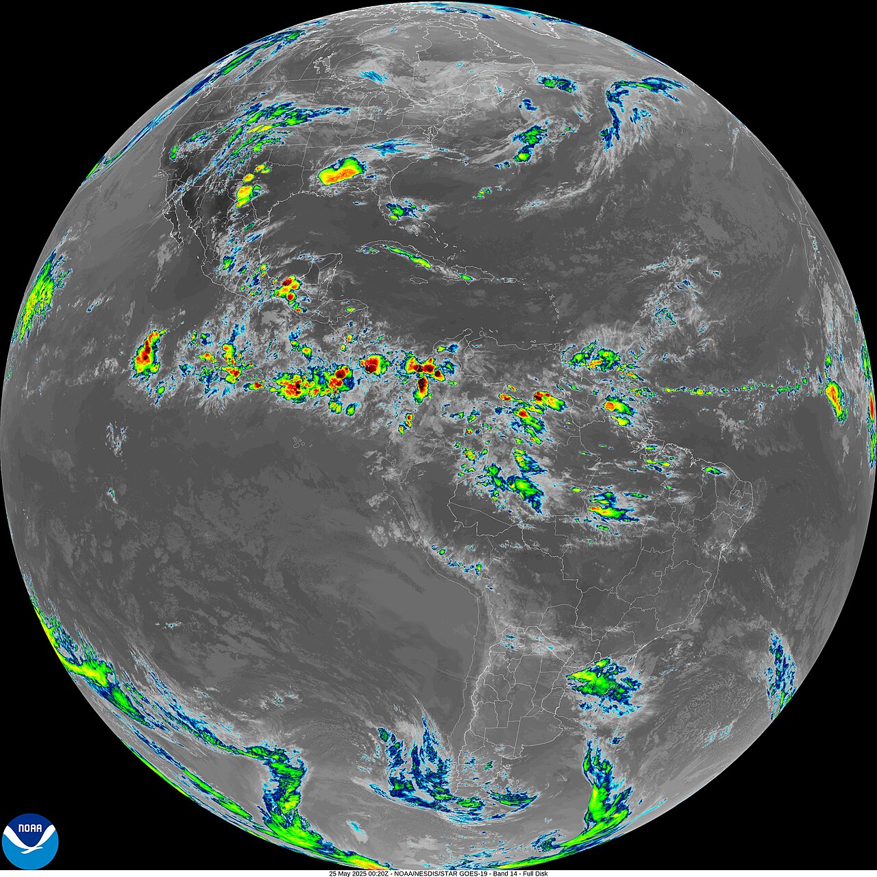
Weather satellites such as GOES-East, GOES-West, Meteosat and Himawari each watch a different part of the planet, in different formats, projections and scan schedules. SatWeave blends their observations into one global mosaic across 17 visible, water-vapour and infrared channels, on a common grid.
SatWeave updates hourly. That matters because, as DeepMind puts it, it lets WeatherNext 3 produce new global predictions from a live view, instead of starting from analysis data refreshed every six hours. The historical archive spans more than a decade.
How good is PARDIG at finding rain?
PARDIG — Precipitation AI Reanalysis: Densely Inferred GPM — was trained directly on sparse spaceborne radar observations from the NASA Global Precipitation Measurement (GPM) Core Observatory, using SatWeave imagery and atmospheric fields from ECMWF as inputs. It produces global precipitation estimates at 15-minute temporal resolution and roughly 10-kilometre spatial resolution, updated with an average latency of about five hours.
DeepMind evaluated PARDIG against three continental radar networks in the US, Europe and Japan, and against more than 36,000 weather stations worldwide. In DeepMind's own evaluation, it improves hourly precipitation detection skill over NASA's IMERG-Final by more than 30% on light-to-moderate precipitation. The team's preprint gives one example: over the contiguous US in 2016–2023, at a threshold of 1 mm per hour, PARDIG-NRT had a mean Critical Success Index of 0.48, against 0.38 for IMERG-Final. Those are the research team's results, not an independent replication.
What should you watch out for before using it?
Two caveats apply. First, a 15-minute interval is not a 15-minute delivery: Google's developer documentation says live PARDIG data is updated every six hours, with about five hours' average latency (roughly two to eight hours), while SatWeave's live feed has about an hour of latency. Second, the supporting PARDIG paper is a preprint posted to arXiv on November 10, and no third-party replication had been confirmed when XenoSpectrum wrote it up.
DeepMind says it hopes PARDIG will support flood, landslide and drought work, especially in regions without dense ground radar networks, and names solar power and wildfire monitoring among uses to explore for SatWeave. Google's documentation describes PARDIG as an experimental dataset.